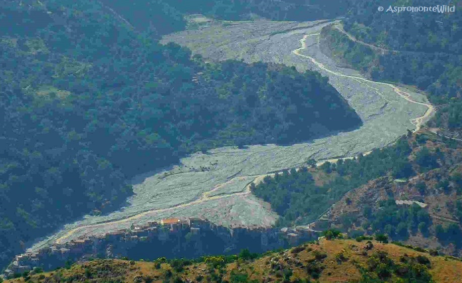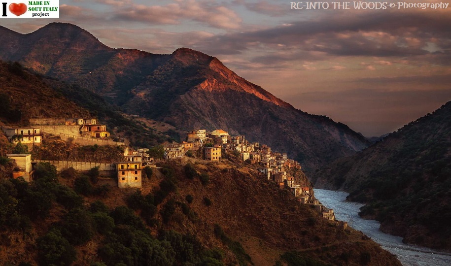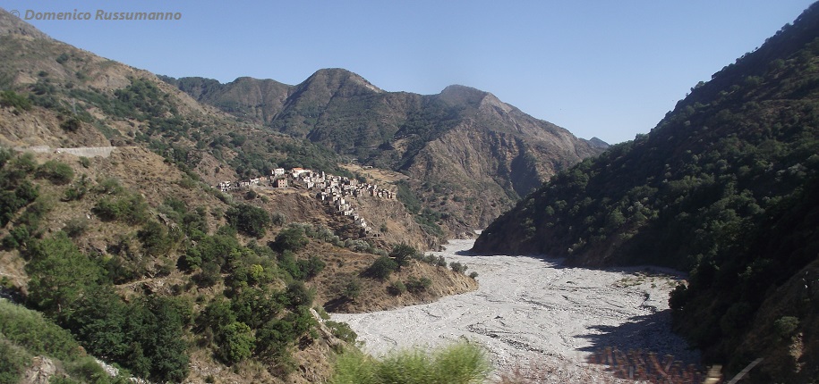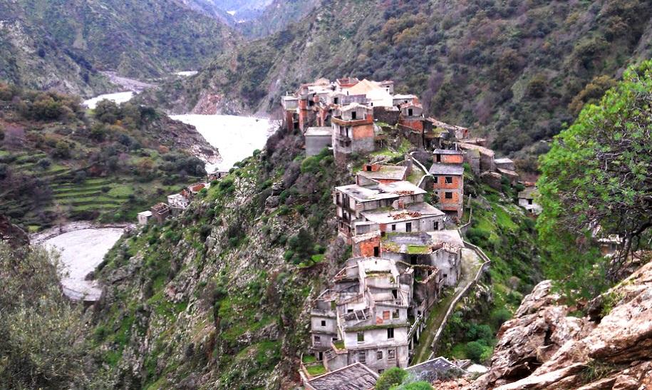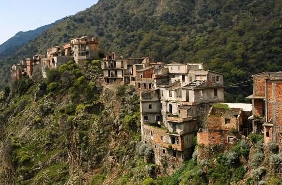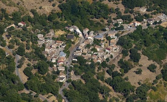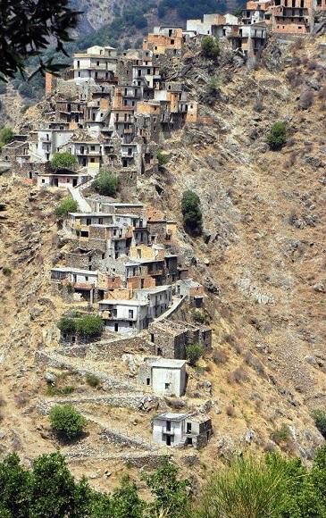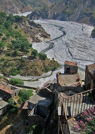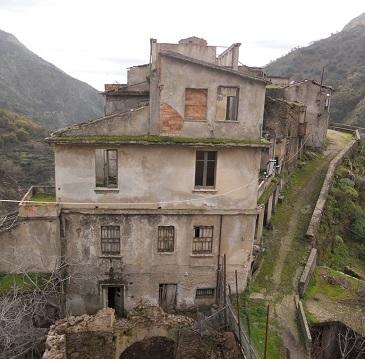
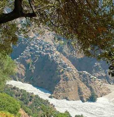
One solitary rocky spur, rising from the white gravel of the river bed Amendolea, lies the ancient town of Roghudi.
Already in the fifteenth century its name appears in official documents.
The term derives from the Greek Richudi and it means 'rocky, full of crevasses', as if to emphasize the place where this village is located, at the foot of the Aspromonte.
But... getting there is not easy...
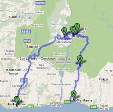
The road most traveled is the one that leads from Melito Porto Salvo to Roccaforte del Greco, and this is what you will be looking at...and think about the way life must have been.
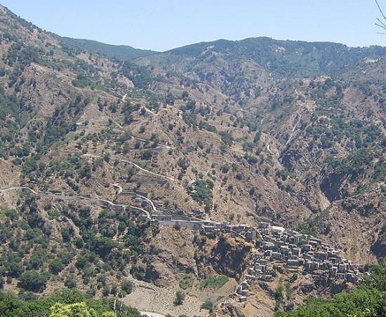
From here, the 8 km long descent of not so well maintained road will bring you in the heart of the history of this part of the province of Reggio.
The total distance is approximately 38 km but it feels like 100...regardless, this might very well be the highlight of your visit to Calabria. Don't rush..take it easy and ..sponge it up.
Formerly the site of the Greek settlement , was a hamlet of the barony of Amendolea.
Roghudi since its origin has had an economy based on farming. The shepherds were engaged in raising sheep and goats, while cattle were mainly used to tow the plow used for the work of tilling the soil and its preparation for planting.
Widespread was the seasonal migration (known in southern Italy as the transumanza), when in the summer, the flocks would be driven to higher and richer pasture. Because of the harsh and rugged territory, agriculture was little practiced.
In 1084, belonged to the estate of Bova but towards the end of the twelfth century became part of the State della'Ammendolea.
In 1624 the House of Mendoza was sold to Ruffo of Scilla remaining under their rule until 1806.
All the town is in a precarious position with houses built on the edge of precipices, dominated by the large masses of Monte Cavallo, which reaches 1331 meters in height.
Due to the damage caused by the earthquake in the second half of the eighteenth century and frequent landslides, people started to leave, some moved on to build the new Roghudi, others simply emigrated to other regions or countries.
In February 16, 1971 the Mayor Angelo Romeo, officially signed the order in which required the evacuation of all the families still living in town. Roghudi, one of a hand full of nearby towns, where people still spoke ancient Greek was now declared uninhabitable and a new chapter began.
Left behind, high in its fortress, watching over the mountains and valleys , as it has been doing for thousand of years...
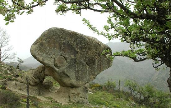
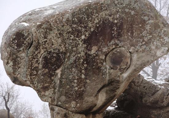
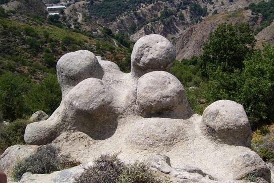
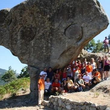
...is Drago (Ròcca tu Dràgu), still enigmatic and mysterious, one of only few links with our legendary past.
The Dragon has the typical shape of the head of a reptile while the Milk Boilers (6), a short distance away, look incredibly like small boilers used by shepherds for the collection of milk (Ta vrastarùcia tu Draku or le Caldaie del latte).
Originally there were seven (considered to be a magic number), one was broken by a worker when a nearby road was being built.
|
Today the new Roghudi rises near Melito di Porto Salvo, but the old town remains in everyone's heart and the bond with the mountains is renewed daily.
DIRECTIONS.
Please note : Due to personal experience (2012) it is strongly suggested to take the trip with a local.
The roads are poorly maintained and it can be overwhelming for the average tourist.
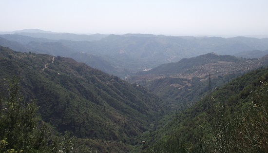
Although brochures might suggest to reach the town from Melito di Porto Salvo, I started instead from Bova Marina, (this way you have time to adjust to the road, a friend said) where the roads are in a better shape on the the way up...once you reach the top and look at the breathtaking valley below, you might want to reconsider ...or
start the downhill stretch... (left image).
Tips: Let someone know where you will be going if you decide to go 'solo', ...my cell phone stopped working and we were isolated for most of the day...
...don't forget to bring lunch...your camera...make sure the gas tank is full... enjoy...
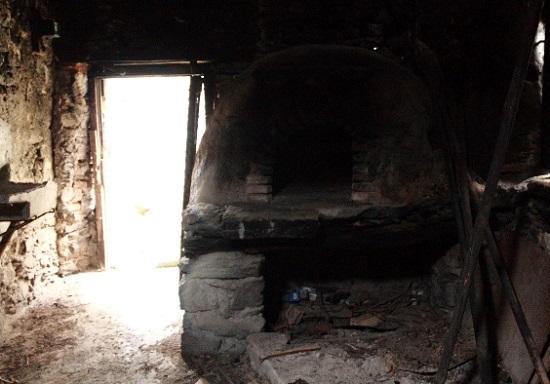
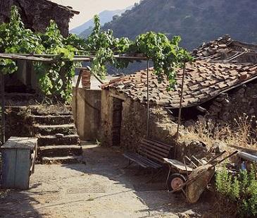
Not far from Roghudi is the fraction of Chorio, a small group of houses many of whom are also abandoned.
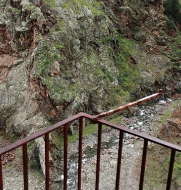
The town will be visible once you start the downhill stretch, at first I mistakenly thought it was Roghudi, I realized it wasn't by the time I got there.
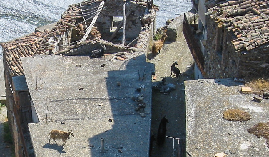
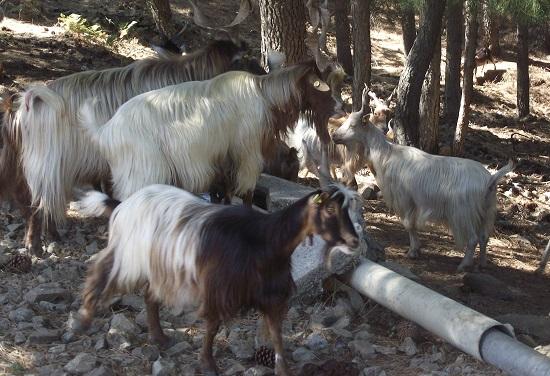
You might want to stop by the fresh mountain water spring just a few minutes from the town's entrance, take a stroll around the narrow streets where you might encounter some farm animals rooming free.
There are some families still living here and some others do come back daily to check on their pigs, chickens an goats.
By looking at the rugged view you can't help not thinking and wondering how the hell you managed to drive down on that barely visible pathway traced on the mountain side.
By the way....on the winding long way down you might see a little old fiat panda (very handy for that terrain - they are used by locals who go back in the old abandoned village to tend their farm animals) driving uphill toward you, don't panic, although the road is only wide enough for 1 car , there is plenty of room at each turn, the panda will be waiting there for you to go through...and don't be surprised if the driver greets you in Greek...
|


